Ecologically Significant
River and Stream Segments
Halls Bayou
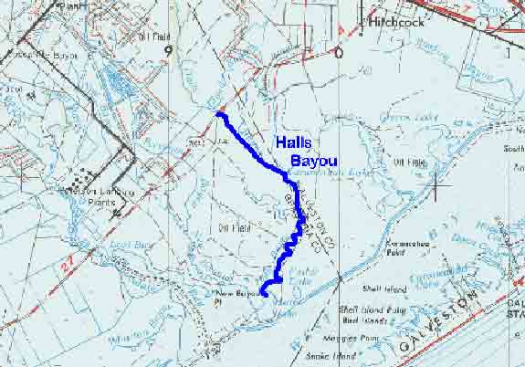
Figure 26. Map Location of Halls Bayou

Adapted from USGS Houston, Texas. 1975. Original scale 1:250,000.
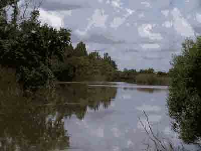
Figure 27. Halls Bayou north of FM 2004

Halls Bayou
Halls Bayou begins six miles northeast of Alvin and flows southeasterly 15 miles to Halls Lake and ultimately into West Galveston Bay. This bayou is host to tens of thousands of waterfowl in the winter due to its extensive beds of wild celery, a submerged aquatic plant, which is a preferred waterfowl food. The bayou is bordered by native tall grass prairies and marsh wetlands and supports a diverse assemblage of freshwater and saltwater fish that provide valuable recreational fishing opportunities to local residents. Fish commonly found in the bayou include catfish, largemouth bass, speckled trout, red drum and croaker.5 The ecologically significant segment is from Halls Lake in Brazoria County upstream to FM 2004.
(1) Biological Function- fringed by extensive wetlands that display significant overall habitat value.15
(2) Hydrologic Function- extensive wetlands perform valuable hydrologic function relating to water quality.
(5) Threatened or Endangered Species/Unique Communities- contains some of the last submerged aquatic vegetation in the Galveston Bay system.15
(Back)