
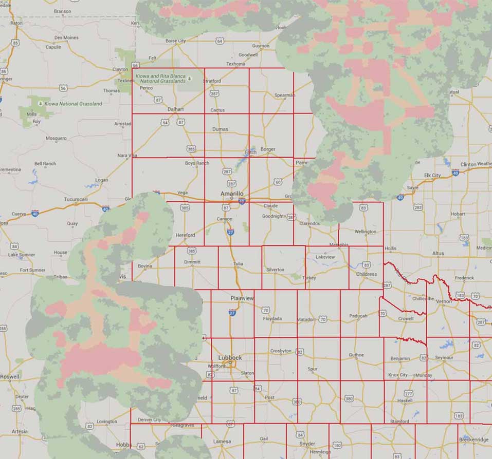
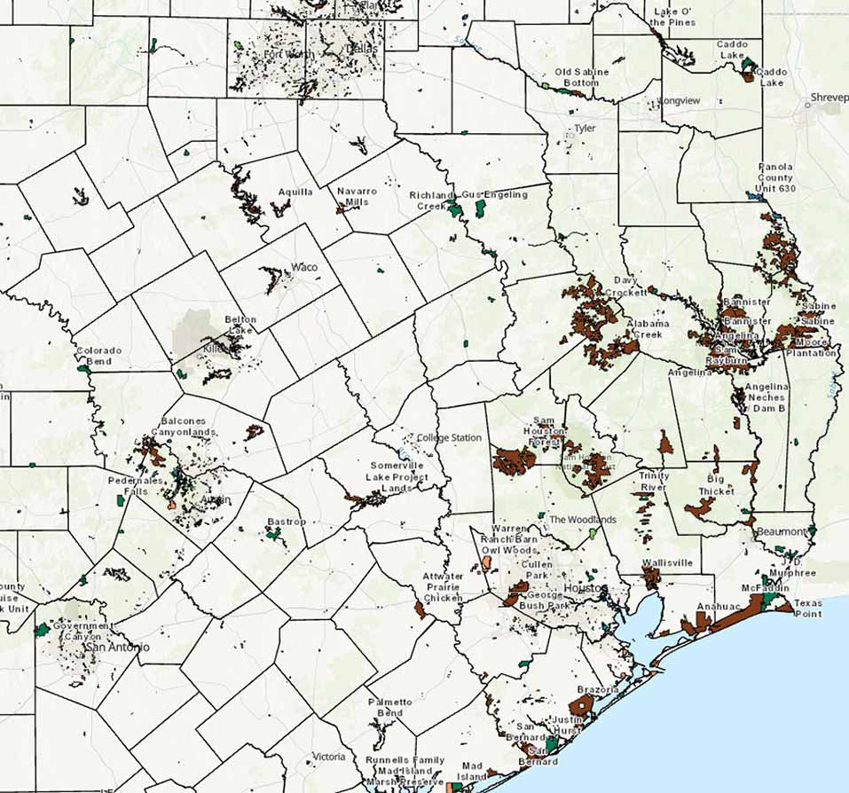
TPWD analysts, scientists, managers, and staff use GIS to manage assets, analyze data, and map Texas' land, wildlife, and water resources. With unique responsibilities in conservation, TPWD leverages GIS to unlock the power of geospatial information.
TPWD Spatial Data
No claims are made to the accuracy of the data or to the suitability of the data for a particular use.
These data are for informational purposes and may not have been prepared for or be suitable for legal, engineering or surveying purposes.
If you have questions regarding available data or need data not contained on this site, contact IT-GIS Team.
If you need data not contained in the TPWD GIS Open Data site, visit Open Records - Texas Parks & Wildlife Department.
Interactive Web Maps


Division-Specific GIS Practices at TPWD
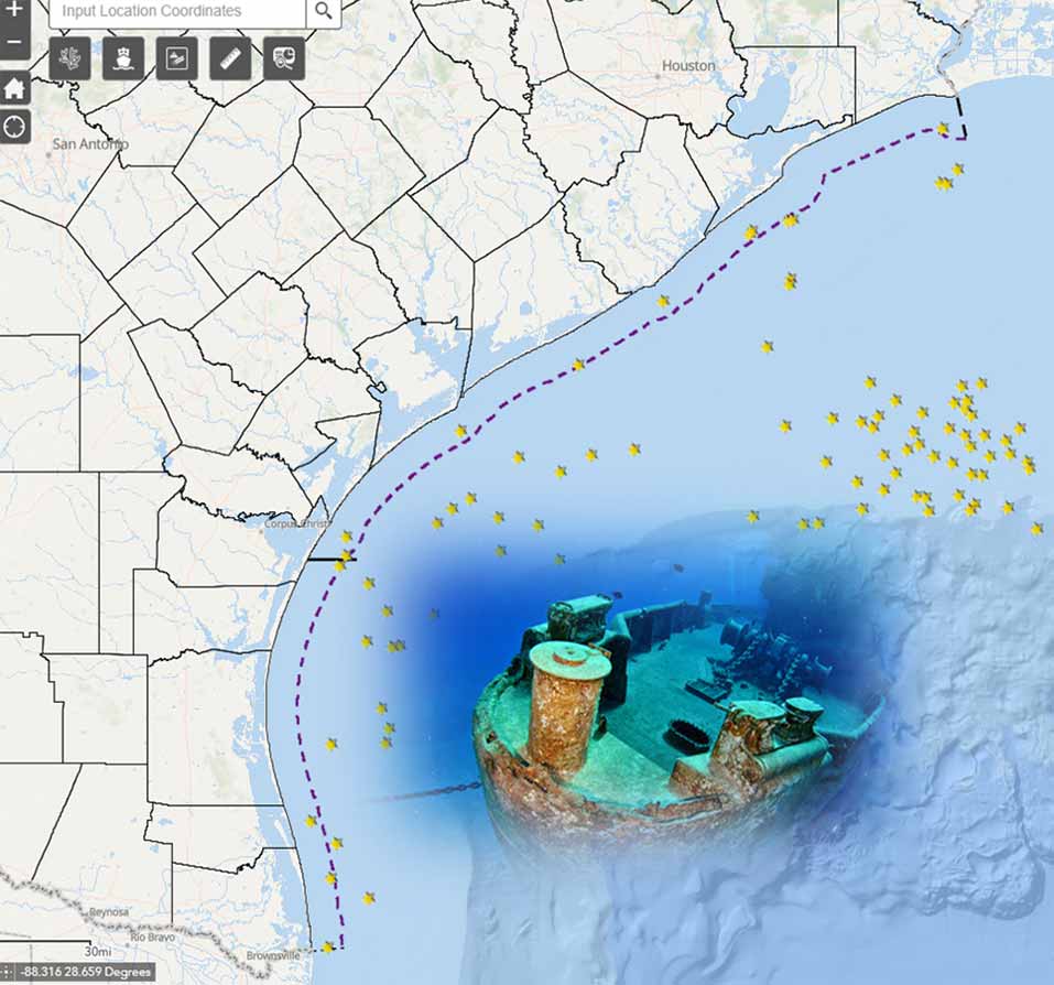
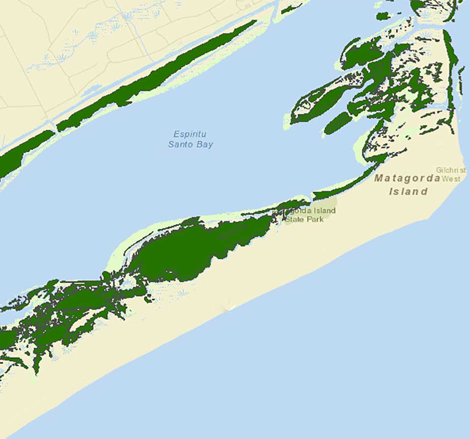
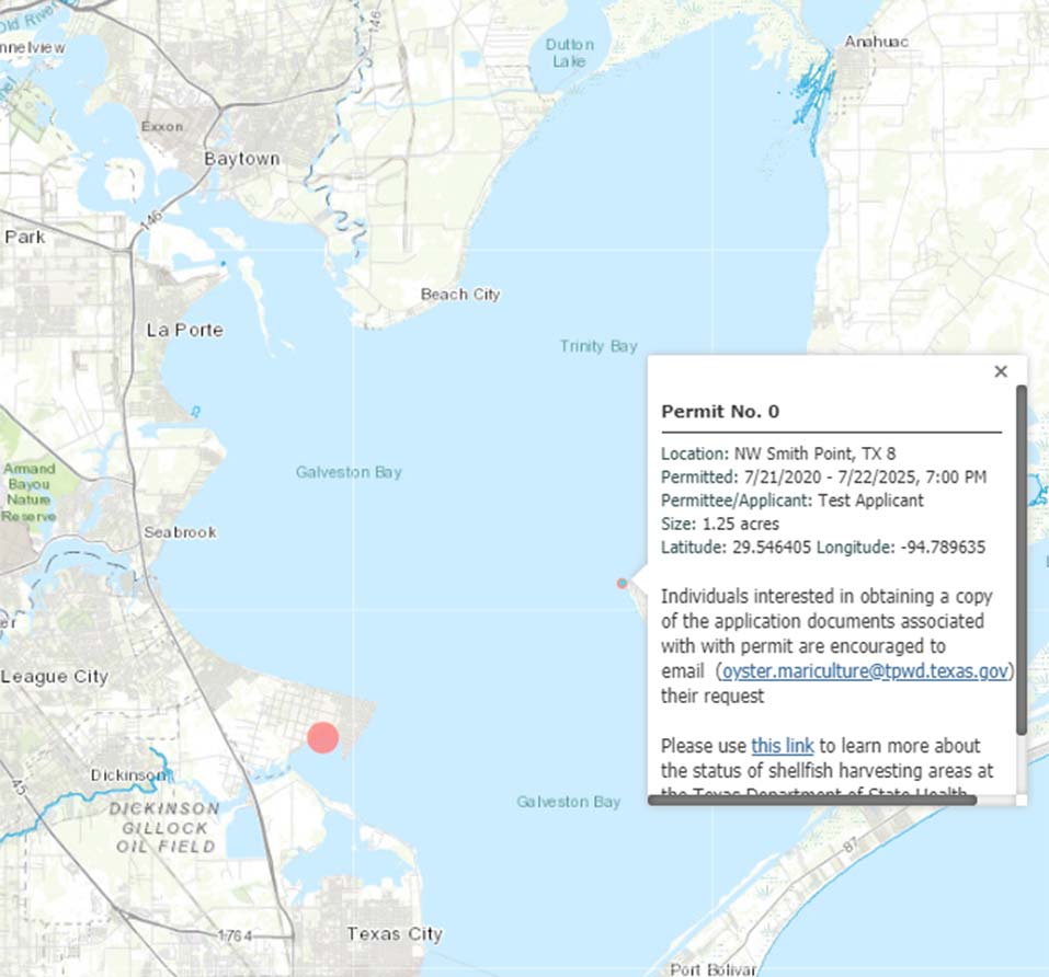
Coastal Fisheries
- Fisheries Monitoring Data
- Habitat Monitoring Data
- Coastal Restoration
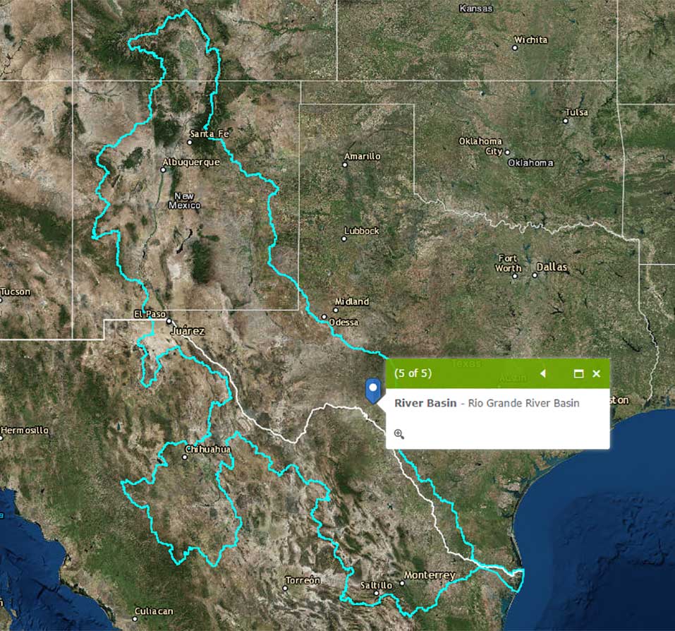
- Environmental Flows Studies
- Fish Kill/Pollution Events
- Water Quality Program
Information Technology
- Coordination of GIS Technical Infrastructure
- Administration of GIS Infrastructure
- Maintenance of GIS Infrastructure
- Geodatabase Administration
- License Administration
- GIS Consultation/Support
Law Enforcement
- Drone/ UAS Program
- Locational Awareness
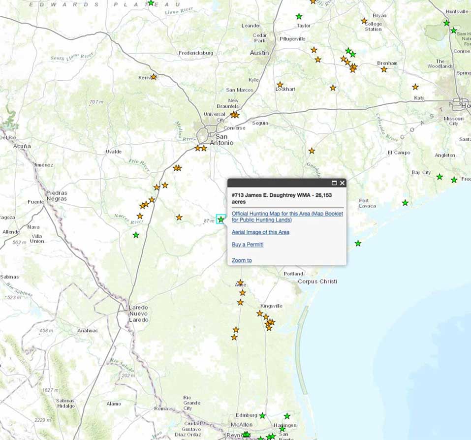
State Parks
- State Parks Facility Mapping
- LWRCRP Web Viewer
Inland Fisheries
External GIS Resources
Data Clearinghouses
Elevation
Environmental
- Climate (NOAA)
- Climate (USDA - PRISM)
- Ecoregions - Omernik (EPA)
- National Wetlands Inventory (USFWS)
- Oil Wells and Pipelines (TxRRC)
- Species (USGS)
- Wind Turbine Locations (FAA)