
Landscape Ecology Program
About the Program
The Landscape Ecology Program employs an interdisciplinary approach in monitoring the landscape of Texas. Its objective is to provide ecologically-focused geospatial data for state and federal agencies as well as the public. Our team of professionals incorporates ecological principles, field data collection, advanced GIS technology, remote sensing, and user-friendly app development for landscape management and conservation planning.
Latest News
The Conservation Opportunity Areas (COA) of Texas model is now LIVE!
The COA provides a statewide look at conservation priorities by integrating data on Species of Greatest Conservation Need (SGCN), conservation threats, and landscape connectivity. It combines measures of ecological value, restoration potential, and fragmentation to support strategic conservation planning and guide management actions. Version 2026 data is available in the COA Web Viewer with additional analysis tools coming soon.
Check out our new Texas Ecosystem Analytical Mapper (TEAM)
Texas Ecosystem Analytical Mapper (TEAM) is an interactive mapping tool to assist in understanding Texas habitats and to integrate Ecological Mapping Systems (EMS) data with land management and resource planning of all types.
- View EMS data in relation to soils, hydrology and ecoregions layers
- Export/Print custom maps and reports of habitat data for custom areas/boundaries
- Calculate acres of vegetation types within an area of interest
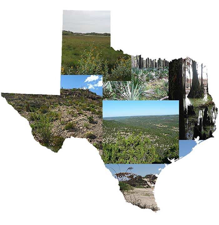
Ecological Mapping Systems (EMS)
The EMS dataset comprises 398 vegetation types for the entire state of Texas in a geospatial format. This dataset was developed from aerial imagery, 14,000+ ground control points, and modeling various abiotic variables such as, slope, elevation, and soils.

Conservation Opportunity Areas (COA) of Texas
The Conservation Opportunity Areas (COA) model identifies places across Texas where conservation or restoration efforts can have the greatest impact by analyzing key ecological factors, including priority species, threats, connectivity, restoration potential, and fragmentation. It serves as a decision support tool for strategic conservation planning, restoration, land use decisions, and public education, without creating any new regulations or restrictions.
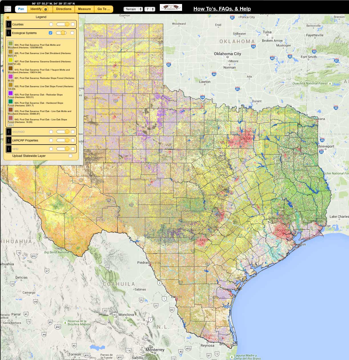
Texas Ecosystem Analytical Mapper (TEAM)
The TEAM application is an interactive, user-friendly mapping tool that assists users in understanding the Texas landscape and integrates EMS data with land management and resource planning of all vegetation types.