Agricultural & Other Human-Related Mapped Types
Ecological Mapping Systems
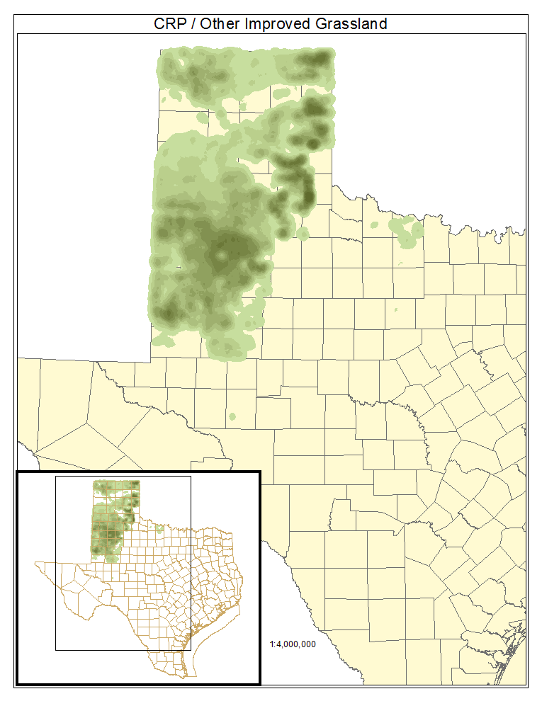
Conservation Reserve Program / Other Improved Grassland
Grasslands of highly managed areas, sometimes dominated by non-native grasses such as Cynodon dactylon (bermudagrass), Sorghum halepense (Johnsongrass), and Panicum coloratum (kleingrass).
Distribution Map

Photos

Grass Farm
Most areas mapped as this type in Phase 1 are dominated by Cynodon dactylon (Bermudagrass) and consist of golf course fairways and greens that are fertilized and irrigated. This type also includes areas of moist soil and fast-growing, highly productive grassland.
Distribution Map

Photos

Orchard
Plantings of fruit or nut trees.
Distribution Map

Photos

Pine Plantation 1 to 3 meters tall
Young, planted Pinus taeda (loblolly pine) stands are most common within this type, which is mapped over moist soils where natural pine stands are not expected to occur. Other species such as Liquidambar styraciflua (sweetgum), Quercus nigra (water oak), Ulmus alata (winged elm), Ilex vomitoria (yaupon), and Rubus trivialis (southern dewberry) may also be components. Some sites mapped as this type contain sparse or short Quercus virginiana (coastal live oak), Juniperus virginiana (eastern redcedar), or Ilex vomitoria (yaupon).
Distribution Map

Photos

Pine Plantation >3 meters tall
Dense stands of Pinus taeda (loblolly pine) or mixed Pinus taeda (loblolly pine) and Pinus echinata (shortleaf pine) characterize this type that is mapped over moist soils where natural pine stands are not expected to occur. Plantations of Pinus elliottii (slash pine) may also be present. Important components may include Liquidambar styraciflua (sweetgum), Quercus nigra (water oak), Nyssa sylvatica (blackgum), Quercus falcata (southern red oak), Quercus stellata (post oak), and Quercus alba (white oak). Some sites mapped as this type contain Quercus fusiformis (plateau live oak), Quercus virginiana (coastal live oak), Juniperus virginiana (eastern redcedar), or Ilex vomitoria (yaupon).
Distribution Map

Photos

Row Crops
This type includes all cropland where fields are fallow for some portion of the year. Some fields may rotate into and out of cultivation frequently, and year-round cover crops are generally mapped as grassland.
Distribution Map

Photos

Urban High Intensity
This type consists of built-up areas and wide transportation corridors that are dominated by impervious cover.
Distribution Map

Photos

Urban Low Instensity
This type includes areas that are built-up but not entirely covered by impervious cover, including most of the area within cities and towns.
Distribution Map

Photos
