Western Great Plains Open Freshwater Depression Wetland
Geology
On various substrates, but often on alluvium.
Landform
Depressions along drainages and lakes. These may also occupy other landforms, but typically do not occur within closed basins as in the Western Great Plains Closed Depression Wetland.
Soils
Various soils, often tight soils that restrict drainage, but also other soil types where water accumulates due to position along a drainage.
Parent Description
This ecological system is composed of lowland depressions; it also occurs along lake borders that have more open basins and a permanent water source through most of the year, except during exceptional drought years. These areas are distinct from Western Great Plains Mesquite Woodland and Shrubland (CES303.668) by having a large watershed and/or significant connection to the groundwater table. A variety of species are part of this system, including emergent species of Typha (cattails), Carex (carices), Eleocharis (spikerushes), Juncus (rushes), and Schoenoplectus (bulrushes), as well as floating genera such as Potamogeton (pondweed), Sagittaria (arrowhead), or Ceratophyllum (hornwort). The system includes submergent and emergent marshes and associated wet meadows and wet prairies. These types can also drift into stream margins that are more permanently wet and linked directly to the basin via groundwater flow from/into the pond or lake. Some of the specific communities will also be found in the floodplain system and are here considered a separate system. These types should also not be considered a separate system if they are occurring in lowland areas of the prairie matrix only because of an exceptional wet year. As mapped, this system may also occupy anthropogenic ponds and lakes.
Ecological Mapping Systems
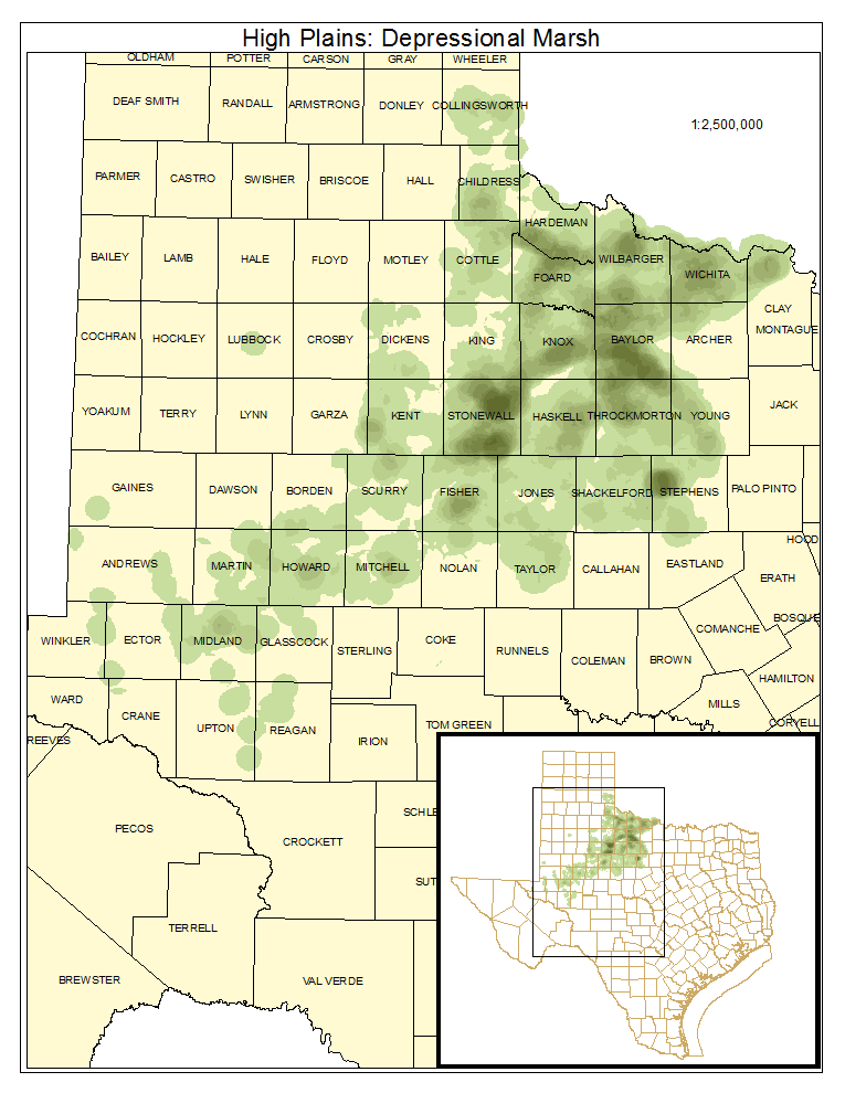
High Plains: Depressional Marsh
As described for system.
Distribution Map

Photos

High Plains: Depressional Wet Prairie
As described for system.
Distribution Map

Photos

Public Land Occurrence
- None.
High Plains: Depressional Wet Shrubland
As described for system.
Distribution Map

Public Land Occurrence
- None.