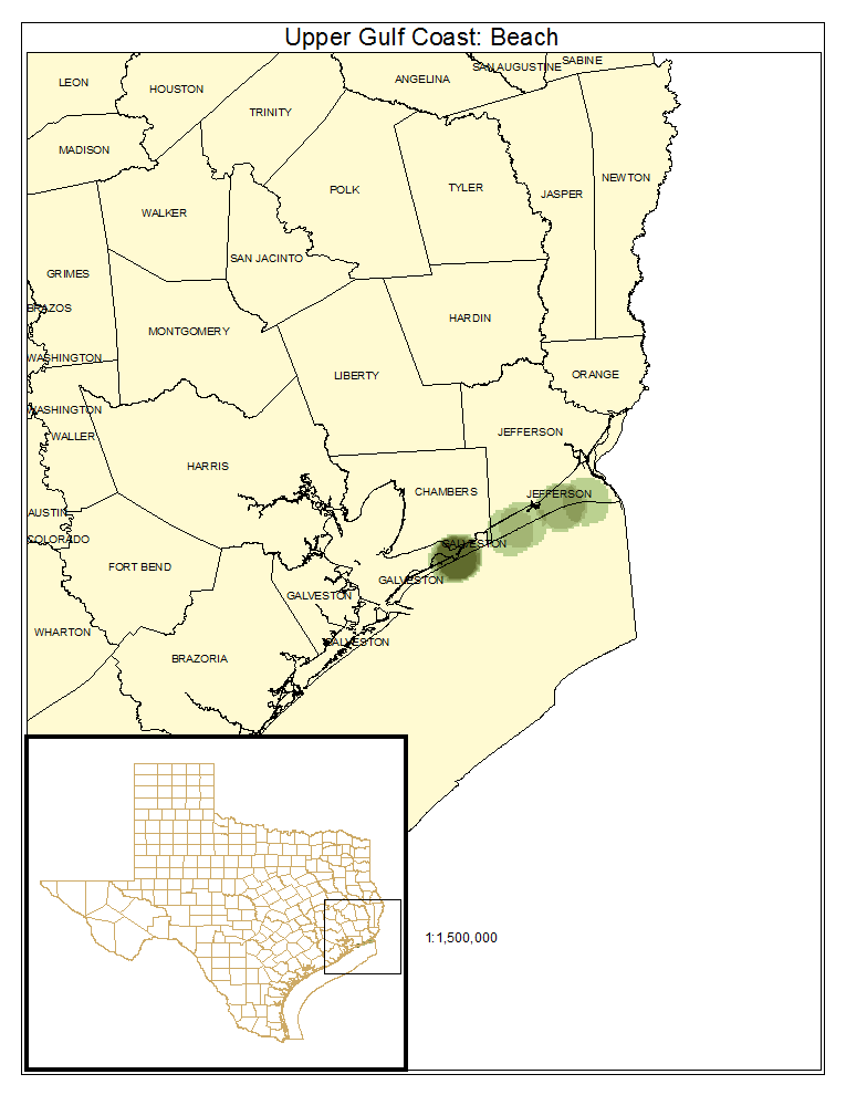
Gulf Coast Chenier Coastal Beach
Geology:
Recent deposits of sand resulting from ongoing coastal sediment transport, and more commonly clays remaining on Gulf margin after longshore transport of sand off of the sites.
Landform:
Gently sloping towards the gulf, with some development of foreshore dunes. Beaches in this part of the Texas coast tend to be eroding and narrow.
Soils:
Clays and sands.
Parent Description:
Narrow margin of mostly unvegetated sands receiving frequent inundation, erosion, or sediment deposition from eolian processes. The topography is low, and the substrate is dynamic, leading to reduced vegetation development. Sparse herbaceous cover may be encountered with species such as Cakile spp. (searocket), Distichlis spicata (saltgrass), Sesuvium spp. (sea purslanes), Spartina patens (marshhay cordgrass), Ipomoea pes-caprae (goat-foot morning-glory), and Ipomoea imperati (beach morning-glory).
Ecological Mapping Systems
Upper Gulf Coast: Beach
As described for system.
Distribution Map

Photos

Public Land Occurrence
- None.