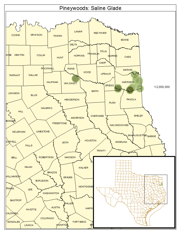
South-Central Saline Glade
Geology:
In some cases, this system may be associated with inland salt domes when the proximity of such a structure to the surface produces high salinity in the surface soils. Otherwise, surface geology of various formations may contain sufficient alkalinity such that leaching from particular members of these formations gives rise to such conditions.
Landform:
These sites are often associated with streams or drainages, sometimes occurring on terraces.
Soils:
Soils are characterized by high levels of exchangeable sodium and low permeability with reduced soil aeration. Some soils may be Glossic Natraqualfs.
Parent Description:
While apparently not well-represented in Texas, the search for Geocarpon minimum (tinytim) has led investigators to identify some areas that may be characterized as this system. One area mapped as this system, near Grand Saline in Van Zandt County, may not be a good representative of this system. This site does have alkaline soils and is characterized by halophytic species, and generally lacks woody vegetation. The site appears to more closely resemble an inland salt marsh, with extensive areas dominated by Distichlis spicata (saltgrass) and lower, wetter areas dominated by Schoenoplectus spp. (bulrush). Shrubs that may occur in patches within this system include Baccharis halimifolia (baccharis), Iva angustifolia (narrowleaf sumpweed), and Tamarix spp. (salt cedar). Some sites may be relatively sparsely vegetated and intermixed as a mosaic with surrounding woodlands containing species such as Quercus stellata (post oak), Quercus similis (bottomland post oak), Ulmus crassifolia (cedar elm), Quercus nigra (water oak), and Pinus taeda (loblolly pine). Other herbaceous species that may be encountered include Coreopsis tinctoria (plains coreopsis), Sporobolus vaginiflorus (poverty dropseed), Distichlis spicata (saltgrass), Diodia teres (rough buttonweed), Houstonia spp. (bluets), Isolepis carinata (keeled bulrush), Phemeranthus parviflorus (prairie flameflower), Plantago spp. (plantains), Krigia occidentalis (western dwarf dandelion), and Aristida spp. (threeawns).
Ecological Mapping Systems
Pineywoods: Saline Glade
As described for system.
Distribution Map

Photos

Public Land Occurrence
- None.