Tamaulipan Saline Lake
Geology:
Mostly mapped on the edge of the sandsheet over the Goliad Formation. Quaternary clay dunes (Qcd) are sometimes nearby.
Landform:
Broad, gently sloping, interior draining basins.
Soils:
Highly saline sands or sandy loams.
Parent Description:
These saline lakes are interior draining basins, receiving runoff from the surrounding landscape. Solution of salts from parent material, deposition from runoff, and subsequent evaporation has lead to a highly saline situation. Sites may be unvegetated or have sparse vegetation. Some areas at very slightly higher landscape positions in the basin are dominated by halophytic grasses such as Sporobolus airoides (alkali sacaton), Distichlis spicata (saltgrass), Sporobolus pyramidatus (whorled dropseed), and Monanthochloe littoralis (shoregrass). Other halophytic forbs and sub-shrubs may also be present, including Borrichia frutescens (sea ox-eye daisy), Batis maritima (saltwort), Salicornia spp. (glassworts), Atriplex matamorensis (Matamoros saltbush), Sesuvium portulacastrum (shoreline seapurslane), and Suaeda linearis (annual seepweed).
Ecological Mapping Systems
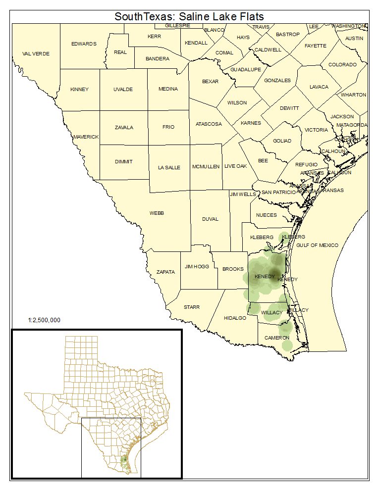
South Texas: Saline Lake Flats
Unvegetated or very sparsely vegetated lake margin.
Distribution Map

Photos

Public Land Occurrence
South Texas: Saline Lake Grassland
Sites along the margin of saline lakes where grasses, forbs, and subshrubs have sufficient cover to be mapped as vegetated.
Distribution Map

Photos
