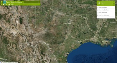
Texas Watershed Viewer
 The Texas Watershed Viewer allows users to identify local watersheds, sub watersheds, river basins, and river sub basins throughout the State of Texas.
How to Use Watershed Viewer
- Open the Texas Watershed Viewer
- Type an address into the search bar and press enter. The map will zoom into the address.
- Click anywhere on the map and the feature will appear.
- To view other features, click the right-facing and left-facing arrows, in the watershed box, for the other features to appear (Sub Watershed, Watershed, River Sub Basin, and River Basin). You may have to zoom out of map to view the river basins.
A mobile version is also available: Mobile Texas Watershed Viewer
