Commission Agenda Item No. 7
Presenter:
Stan David
Action
Acquisition of Land – Marion County
Approximately 2 Acres at the Caddo Lake Wildlife Management Area
August 23, 2018
I. Executive Summary: A tract of approximately 2 acres adjacent to the Caddo Lake Wildlife Management Area (WMA) is for sale on the open market and has been identified as a strategic acquisition for WMA operations.
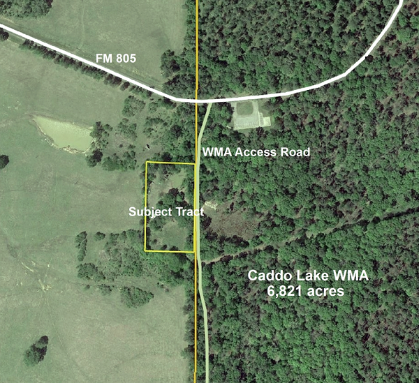
II. Discussion: Over the years, access to a privately owned 2-acre tract on the west boundary of Caddo Lake WMA has complicated WMA operations. The tract has approximately 420 feet of boundary in common with the WMA and is just south of the FM 805 access point. Access to the parcel is by an easement across a WMA access road. The landowner travels 500 feet past a locked Texas Parks and Wildlife Department gate to get to the tract. This has resulted in conflicts with WMA operations, including public hunting. The tract has recently been placed on the market for sale. The tract has utilities in place that could support future WMA facilities without significant impacts to native habitat. Acquiring this property would resolve access conflicts and provide options for enhancing future operations.
II. Recommendation: The staff recommends the Texas Parks and Wildlife Commission adopt the following motion:
“The Texas Parks and Wildlife Commission authorizes the Executive Director to take all necessary steps to acquire approximately 2 acres in Marion County for addition to the Caddo Lake Wildlife Management Area.”
Commission Agenda Item No. 7
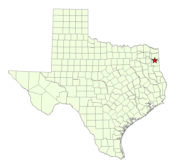
Exhibit A
Location Map for Caddo Lake Wildlife Management Area in Marion County

Commission Agenda Item No. 7
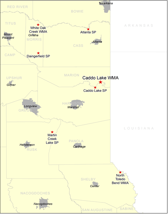
Exhibit B
Vicinity Map for Caddo Lake Wildlife Management Area (WMA), 20 Miles East of Jefferson, Texas

Commission Agenda Item No. 7
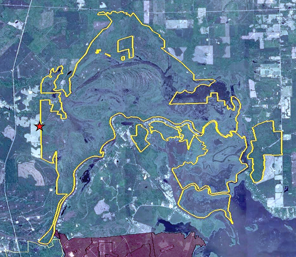
Exhibit C
Vicinity Map for Subject Tract Approximately 2 Acres
Wildlife Management Area (WMA) Outlined in Yellow
Subject Tract Indicated by Red Star

Commission Agenda Item No. 7
Exhibit D
Close up of the Subject Tract Showing the Affected Wildlife Management Area Access
Wildlife Management Area Boundary Shown by Orange Line
