- Texas EFIT Hydrology Dashboard
- The Great Plains (GP) EFIT Hydrology Dashboard
- The GP EFIT Hydrology Dashboard User Guide
- Protecting and Restoring Environmental Flows and Water Levels in Prairie Rivers and Streams in the Great Plains Final Report (Download)
- The GP EFIT Flow Ecology Dashboard
- The GP EFIT Water Planning Dashboard
The Great Plains Environmental Flow Information Toolkit Hydrology Dashboard
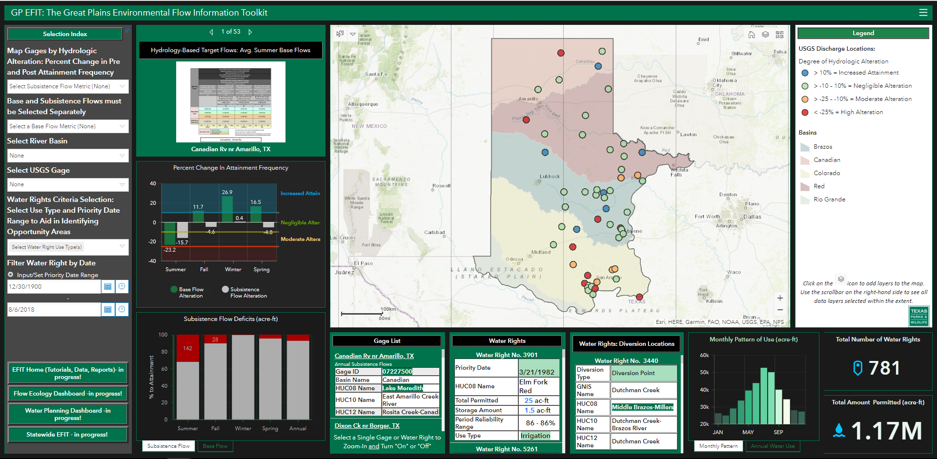
 The Great Plains (GP) Environmental Flow Information Toolkit (EFIT) Hydrology Dashboard is an interactive application designed to assist in the decision-making process for restoring and protecting environmental flows in watersheds within the Great Plains ecoregion using desktop hydrologic analysis methods and geospatial technology.
The Hydrology Dashboard has several functions centered around a map of USGS gages color-coded by degree of hydrologic alteration. A selection index allows users to filter by river basin, by gage, and by seasonal flow components (such as subsistence and base flows). Once a gage is selected, information on hydrology-based flow targets, degree of hydrologic alteration by season and flow component, and flow deficit (volumetric shortfall) for a given season and flow component is displayed for that gage through an operations dashboard platform.
The selection index also allows users to filter water right permit information by priority date and use type. These data layers are then geographically filtered to display the number of surface water rights, amount of permitted use, and pattern of usage. Utilizing this tool, water rights information and flow deficits can be compared to evaluate opportunities and areas for environmental flow restoration and protection.